Used by 8,000+ creators
Map Route Animation Generator
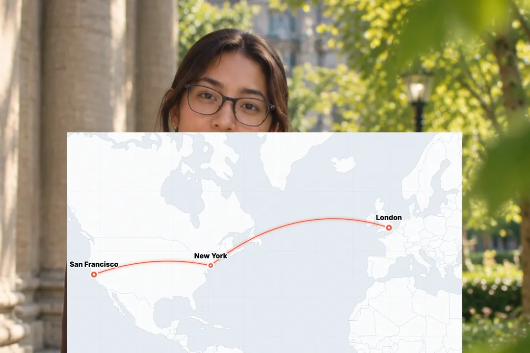
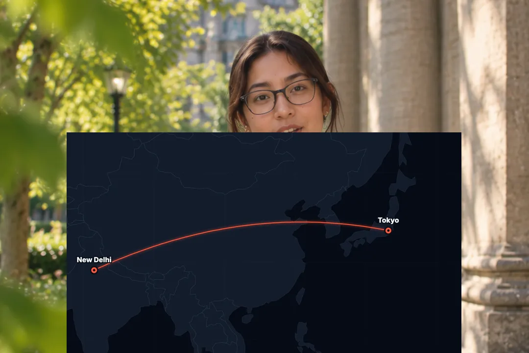
Pick up to five cities and watch the route draw itself across a world map, with pins dropping and a plane riding the line. A free 1080p travel map video.
Free, no sign-up
By Sumit DeyUpdated
What is the Map Route Animation?
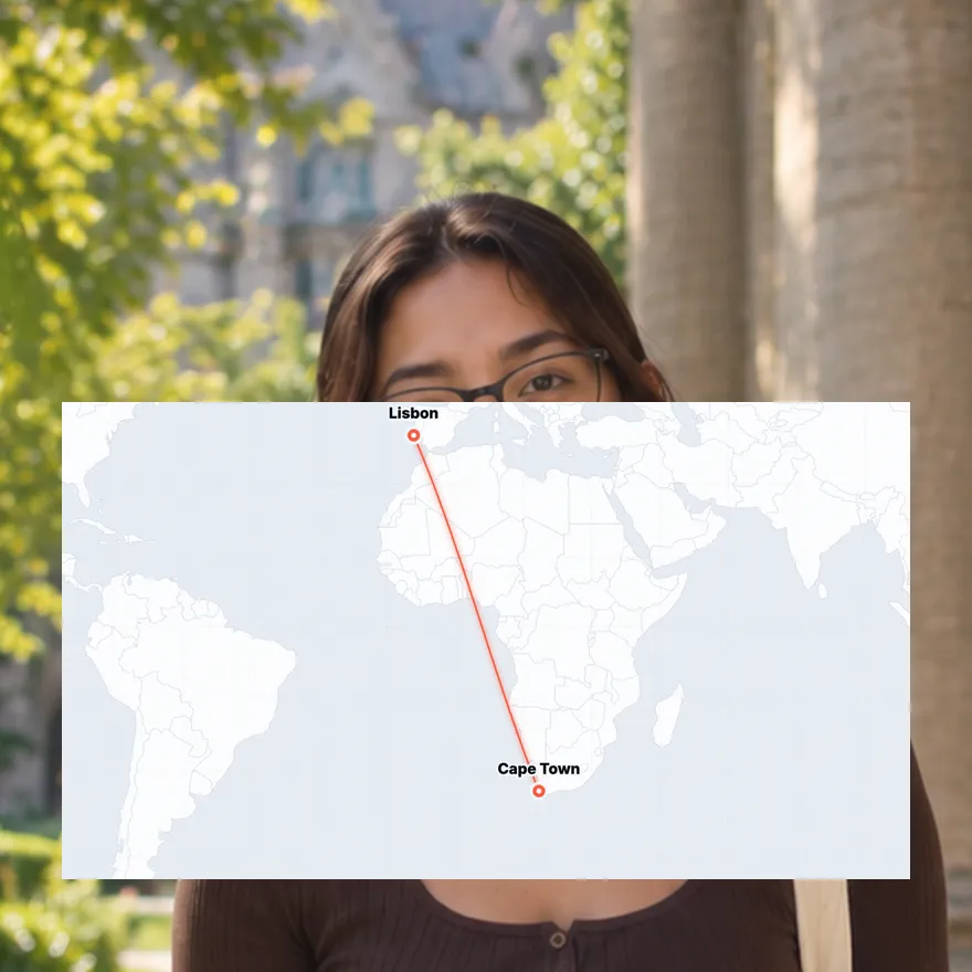
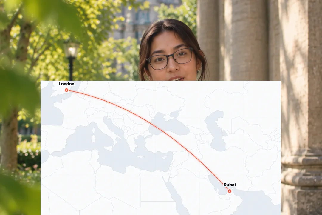
A map route animation draws a travel path between places on a map, the classic movie flight-line look. This one uses a stylised world map, pins for each stop and a plane or dot that rides along the route.
How it works
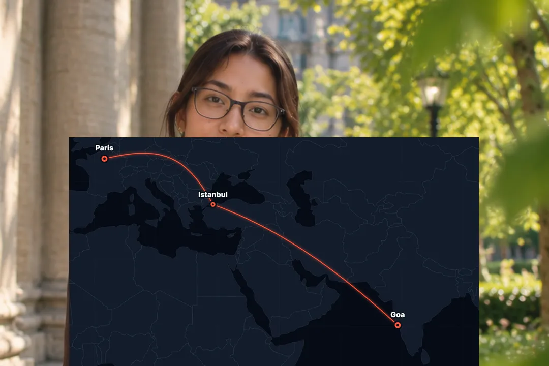
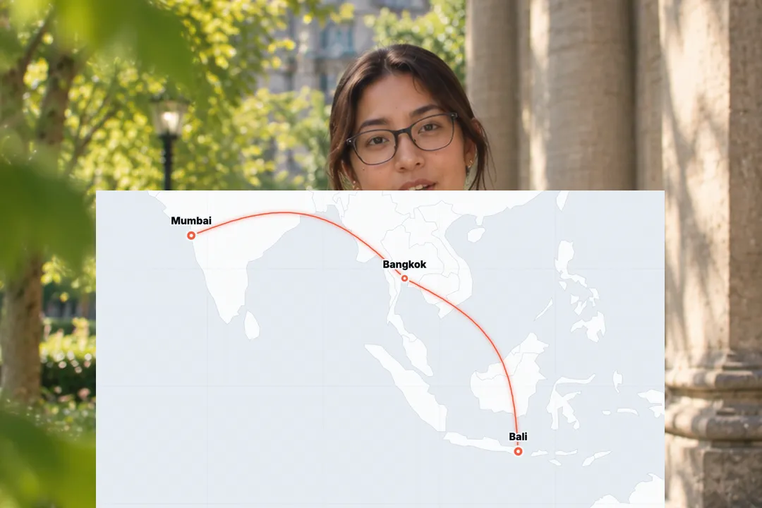
The map appears, the first pin drops, then the route draws itself leg by leg to each next stop while a plane, a dot or nothing rides the line. You pick two to five cities, their labels, a light or dark map and the accent colour.
Made for
- Travel vlogs and trip recaps
- Itinerary and route planning videos
- Relocation and moving abroad stories
- Tour and event announcements
- Supply chain and business expansion explainers
Map Route Animation in three steps
Step 01
Pick two to five cities
Choose your stops from a built-in list of over 100 cities, or set exact coordinates for anywhere else.
Step 02
Set the look and the rider
Choose a light or dark map, the accent colour, and whether a plane, a dot or nothing rides the line.
Step 03
Export the MP4
Pick 9:16, 16:9 or 1:1 and download a 1080p MP4 with no sign-up and no watermark.
Why travel videos open on a map
Viewers want to know where they are going before the footage starts. A route on a map answers that in seconds.
- 1
It sets the scene instantly
One drawn line from home to the destination tells the whole premise of the trip without narration.
- 2
It builds anticipation
Watching the plane travel the route makes the destination feel earned before the first shot of it.
- 3
It ties a series together
Use the same map style at the start of every episode and the route becomes your series signature.
- 4
It shows the scale
A long line across oceans tells viewers how far you travelled in a way that a caption with distances never does.
Planning a route that reads on a phone
A world map is wide and a phone is narrow. A little planning keeps the route clear.
- 1
Two to five stops
More stops means shorter legs and crowded labels. For long trips, show one map per leg.
- 2
Keep the labels short
City names like Bali or Lisbon read instantly. Long names crowd the map, so shorten them in the label field.
- 3
Choose the right theme
A light map suits bright travel footage; a dark map feels cinematic and makes the accent route glow.
- 4
Order stops as travelled
List the cities in the order you visited them, so the plane follows the real journey leg by leg.
Cities, coordinates and labels
Most trips use well-known cities, but the route can reach anywhere on the map, from capitals to small islands.
- 1
Over 100 built-in cities
Major cities and travel spots across every continent are ready to use by name, from New Delhi to Mexico City.
- 2
Exact coordinates for anywhere else
For a village, an island or a venue, enter latitude and longitude and the pin lands exactly there.
- 3
Labels you write
Each stop shows the label you type, so you can write a neighbourhood, a nickname or the day of the trip.
- 4
Mix names and coordinates
Use city names for the big stops and exact coordinates for the small ones, all within the same route.
Ideas beyond travel vlogs
A route on a map tells any story about movement, not only holidays or weekend trips.
- 1
Moving to a new country
Draw the line from your old city to the new one as the opening of a relocation story.
- 2
A tour or a roadshow
Show every city on an event tour as stops on one route, then cut to each date.
- 3
Show a business expanding
Founders use routes to show offices or markets opening, one city after another, as the company grows.
- 4
A recap of the year
Draw every trip you took this year as one route, a quick visual summary for an end-of-year post.
Best Platforms for Map Route Animation
- 1
YouTube
Travel vlogs open with the route so viewers know where the trip goes. A drawn map is the classic way to do it.
- 2
Instagram Reels
Trip recaps on Reels use a map to set the scene in two seconds before the footage starts.
- 3
TikTok
Moving abroad and itinerary videos use a route to show the journey at a glance, with the sound on or off.
Map Route Animation, answered
Is the map route animation free?
Yes. It runs in your browser and exports a 1080p MP4 with no sign-up and no watermark. Change the stops and export a new route for every trip. No account is needed.
How many stops can a route have?
Between two and five stops. That keeps every label readable on a phone; for longer trips, make one map per leg and show them in sequence. Labels stay readable at that count.
What if my city is not in the list?
Enter its latitude and longitude instead of a name and the pin lands exactly there. That works for small towns, islands and venues. Find coordinates by searching the place in any map app.
Can I replace the plane with something else?
You can switch the rider to a simple dot or turn it off, leaving just the line drawing itself between the pins. A plain line without a rider suits calm, minimal edits.
Is it a real map like Google Maps?
No. It is a stylised world map designed for video, without streets or satellite imagery, so the route stays clean and readable at any size. That keeps it fast to make.
Can I use a dark map?
Yes. Choose the dark theme for a cinematic look, where the accent-coloured route stands out like a glowing line. The light theme suits bright daytime footage and sunny summer trips instead.
More free motion elements
- Date Countdown Animation
- Name Lower Third
- Instagram Post Mockup
- Extruded 3D Text
- Number counter animation generator
- Google search animation generator
- Notification animation
- Sticker animation maker
- YouTube subscribe animation
- Money counter animation
- Text reveal animation
- Cutting mat generator
- All motion elements
Caption styles, platforms and tools
From the blog
How Video Captions Increase Watch Time by 40% (2026 Data)
The data is clear: videos with captions get more views, higher watch time, and better algorithmic reach. Here is what the research shows, why it works, and how animated captions outperform static ones.
Animated Captions for Faceless Video: Styles That Hold Attention
On a faceless video the captions are not a subtitle track. They are the performance, the emphasis, and the only brand asset that appears in every single frame. Here is how to choose and apply them.
Faceless Reels and TikToks: A Format Guide That Actually Names the Caption Style
Short-form is where faceless content is won or lost, and it is also where the safe zones, the mute default, and the three-second judgement are least forgiving. Here is the format-by-format breakdown.
Create a Free Map Route Animation Motion Element
Free, no sign-up